Pacifica Homes for Sale
70 Homes for sale in Pacifica


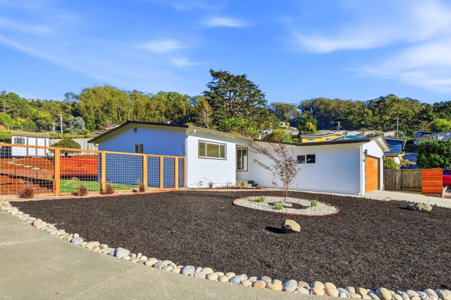
$1,350,000
1328 Oddstad Boulevard
Pacifica, CA 94044




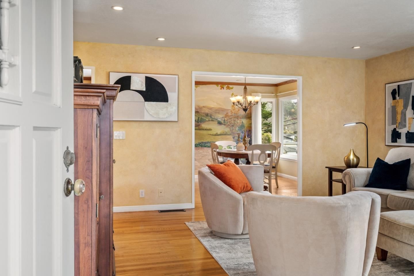
$1,298,000
1005 Granada Drive
Pacifica, CA 94044




Browse Pacifica by Property Type
Pacifica Neighborhood Guide
Pacifica is a coastal city on the San Mateo County shoreline, 10 miles south of San Francisco along the rugged Pacific coast where the San Andreas Fault meets the sea. It is the most dramatically scenic bedroom community in the Bay Area — a string of distinct neighborhoods tucked into coastal valleys between the coastal bluffs and the hills of the Golden Gate National Recreation Area, each with its own character and microclimate. Pacifica offers San Francisco proximity at prices that, while no longer cheap, remain meaningfully below the Peninsula average, and its surfing culture and fog-draped beaches attract buyers who actively choose coastal life over suburban convenience.
Why Buyers Love Pacifica
- Dramatic coastal setting — Pacifica State Beach, Rockaway Beach, and the sea cliffs at Mori Point offer world-class scenery right in the city. Surfing, tide-pooling, and coastal trail running are part of everyday life here, not weekend trips.
- SF proximity at Peninsula prices — Pacifica is 20 minutes from SFSU and 30 minutes from downtown San Francisco, yet home prices are generally lower than comparable San Mateo County cities — a trade-off that appeals strongly to outdoor-oriented buyers.
- Golden Gate National Recreation Area — The city is surrounded on three sides by GGNRA land, meaning the development boundary is fixed and the open space is permanent. Sweeney Ridge, Milagra Ridge, and the San Pedro Valley trail system start at the city's edge.
- Authentic surf town character — Pacifica has maintained a genuinely unpretentious, surf-and-fog identity that resists the gentrified polish of many Bay Area coastal communities. Its independent restaurants, surf shops, and laid-back vibe appeal to buyers tired of suburban sameness.
Neighborhoods at a Glance
Linda Mar
The largest and most family-oriented of Pacifica's neighborhoods, centered on Linda Mar State Beach and its consistent beach breaks. Post-war ranch homes, newer subdivisions on the hillsides, and a strip mall with Taco Bell and a Trader Joe's that doubles as the city's informal social hub.
Rockaway Beach
A tight cluster of homes around the small protected beach and hotel district at the city's northern end. More urban-feeling than Linda Mar, with condos and smaller parcels.
Pacific Manor / Vallemar
The oldest established neighborhood with mid-century architecture, close to the community center and Sharp Park Golf Course. Flat terrain makes it more walkable than the hillside areas.
Sharp Park
Named for the historic Alister MacKenzie-designed golf course on the bluff, this neighborhood offers a mix of bungalows and small cottages close to the sea, with a nostalgic, beach-town feel.
Pedro Point / Shelter Cove
The southernmost neighborhood, with homes on steeper terrain close to the dramatic sea cliffs and San Pedro Valley County Park. More secluded and scenic than the northern neighborhoods.
Local Amenities
Parks
Pacifica State Beach (Linda Mar), Rockaway Beach, Mori Point (GGNRA), Milagra Ridge (GGNRA), Sweeney Ridge (GGNRA), San Pedro Valley County Park, Sharp Park Golf Course
Shopping
Linda Mar Shopping Center (Trader Joe's, pharmacy, local shops), Rockaway Beach retail, limited big-box options (residents use Daly City or South SF for major shopping)
Dining
Nick's Rockaway (beloved surf-side seafood institution), Taco Bell Linda Mar (iconic surfers' post-session tradition), Moonraker Restaurant, Pacifica Brew House, Gorilla Barbeque
Recreation
Surfing at Linda Mar and Rockaway, Sweeney Ridge hiking, San Pedro Valley trail system, Mori Point coastal walks, Sharp Park Golf, tide pools at Fitzgerald Marine Reserve (nearby Moss Beach)
Commute Times
| Destination | Drive | Transit |
|---|---|---|
| San Francisco (Downtown) | 30 min | 45 min (SamTrans bus) |
| Oakland (Downtown) | 50 min | 75 min (bus + BART transfer) |
| Silicon Valley (Palo Alto) | 45 min | 80 min (bus + Caltrain) |
| SFO Airport | 20 min | 40 min (bus + AirTrain) |
Pacifica lacks its own rail connection, and BART service is not available within the city. Most residents commute by car, with Highway 1 and SR-35 (Skyline Blvd) as the main routes. SamTrans buses connect to BART at Daly City for rail access. The coastal commute on Hwy 1 is prone to delays, so Pacifica is best suited for buyers whose jobs are in San Francisco or who have scheduling flexibility.
Commute times are estimates and may vary based on traffic, time of day, and route. Data is for informational purposes only.